Rocque's Map of Georgian London 1746.
SKU: 14724
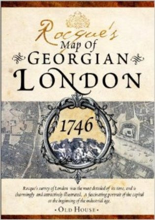
This plan of mid-18th century London was the most detailed of its time. A collaboration between renowned surveyor John Rocque and engraver John Pine, first published in 1746, it extends from Vauxhall to Knightsbridge and Hyde Park. Four sheets. Over 5500 street and place names, churches, markets, barracks, parks, bridges, workhouses, schools, prisons, much more. Clearly an aid to research. When you are working on your novel, make sure your locations are correct! Comes in a beautifully decorated box. New in publisher's shrink wrap. 2013. NEW. $75.00
$75.00
$220.00